


Cap Finistère

Vinceneux
User
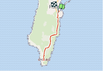

Length
6 km

Max alt
125 m

Uphill gradient
123 m
Km-Effort
7.6 km

Min alt
16 m

Downhill gradient
131 m
Boucle
Yes
Creation date :
2025-06-13 13:36:02.698
Updated on :
2025-06-13 16:15:23.065
1h30
Difficulty : Medium

FREE GPS app for hiking
 SityTrail
IGN / Geographical institutes
SityTrail Plus
The world is yours!
About
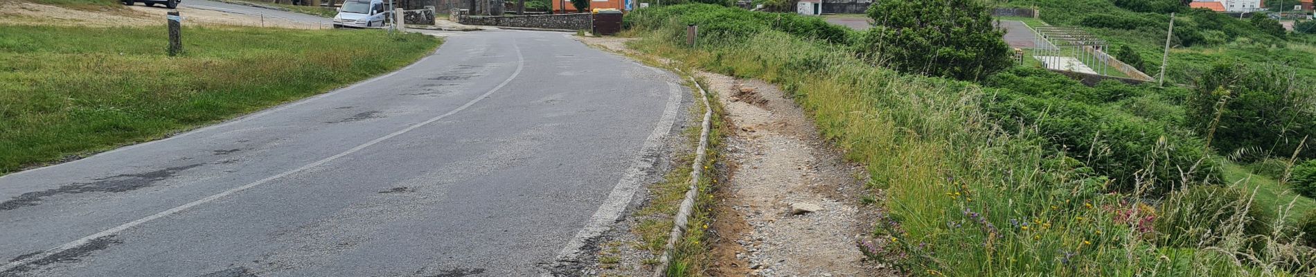
Trail Walking of 6 km to be discovered at Galicia, A Coruña, Fisterra. This trail is proposed by Vinceneux.
Photos


Positioning
Country:
Spain
Region :
Galicia
Department/Province :
A Coruña
Municipality :
Fisterra
Location:
Unknown
Start:(Dec)
Start:(UTM)
478495 ; 4750162 (29T) N.
Comments