


Wortel-Kolonie

Geert H.
User
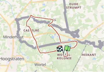

Length
15.4 km

Max alt
29 m

Uphill gradient
85 m
Km-Effort
16.5 km

Min alt
11 m

Downhill gradient
86 m
Boucle
Yes
Creation date :
2025-06-14 11:19:16.595
Updated on :
2025-06-14 17:23:16.009
3h12
Difficulty : Easy

FREE GPS app for hiking
 SityTrail
IGN / Geographical institutes
SityTrail Plus
The world is yours!
About
Trail Walking of 15.4 km to be discovered at Flanders, Antwerp, Hoogstraten. This trail is proposed by Geert H..
Description
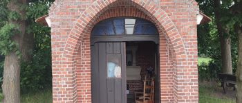
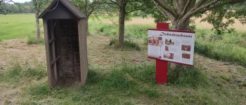
Vanuit de landloperskolonie van Wortel naar een Nederlandse enclave.
Wortel-Kolonie - Bootjesven - De Mark - Het Merkske - Schootse Hoek
Gebaseerd op de wandeling nr. uit het Groot Wandelboek Vlaanderen
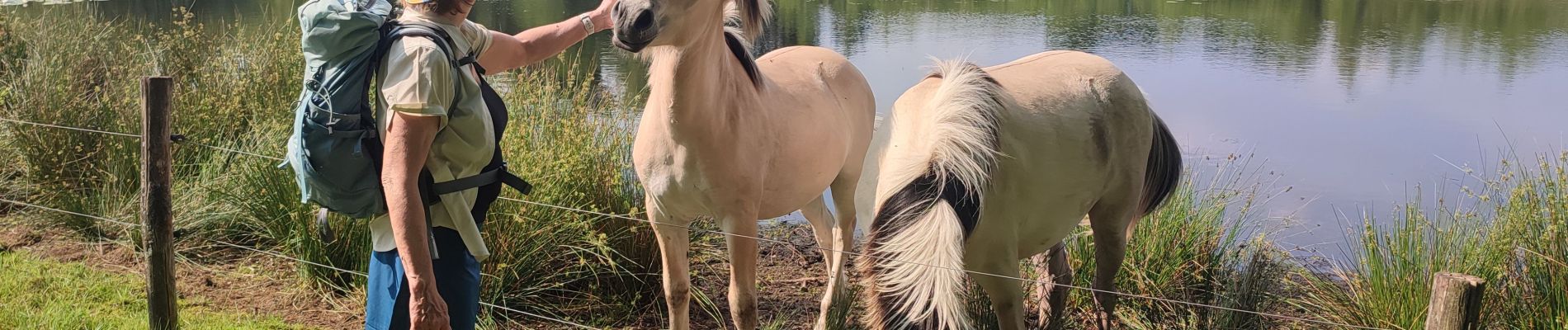
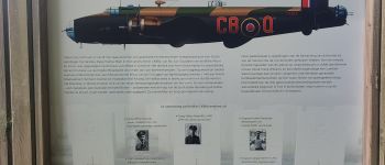
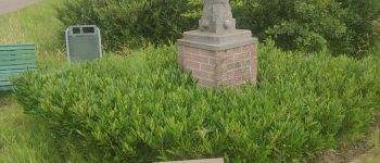
Photos


Positioning
Country:
Belgium
Region :
Flanders
Department/Province :
Antwerp
Municipality :
Hoogstraten
Location:
Wortel
Start:(Dec)
Start:(UTM)
626829 ; 5696364 (31U) N.
Comments