


vers la chapelle Clausis

rochedaniel
User
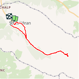

Length
15 km

Max alt
2386 m

Uphill gradient
603 m
Km-Effort
23 km

Min alt
1853 m

Downhill gradient
543 m
Boucle
No
Creation date :
2017-08-21 00:00:00.0
Updated on :
2017-08-21 00:00:00.0
3h29
Difficulty : Easy

FREE GPS app for hiking
 SityTrail
IGN / Geographical institutes
SityTrail Plus
The world is yours!
About
Trail Walking of 15 km to be discovered at Provence-Alpes-Côte d'Azur, Hautes-Alpes, Saint-Véran. This trail is proposed by rochedaniel.
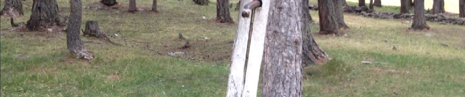
Photos


Positioning
Country:
France
Region :
Provence-Alpes-Côte d'Azur
Department/Province :
Hautes-Alpes
Municipality :
Saint-Véran
Location:
Unknown
Start:(Dec)
Start:(UTM)
330338 ; 4951566 (32T) N.
Comments