


la Reverotte

dcharbonnier
User
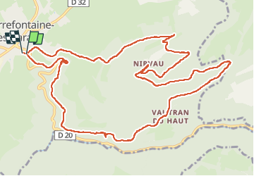

Length
15 km

Max alt
953 m

Uphill gradient
545 m
Km-Effort
22 km

Min alt
574 m

Downhill gradient
545 m
Boucle
Yes
Creation date :
2025-06-16 08:07:45.331
Updated on :
2025-06-16 13:50:34.929
5h41
Difficulty : Difficult

FREE GPS app for hiking
 SityTrail
IGN / Geographical institutes
SityTrail Plus
The world is yours!
About
Trail Walking of 15 km to be discovered at Bourgogne-Franche-Comté, Doubs. This trail is proposed by dcharbonnier.
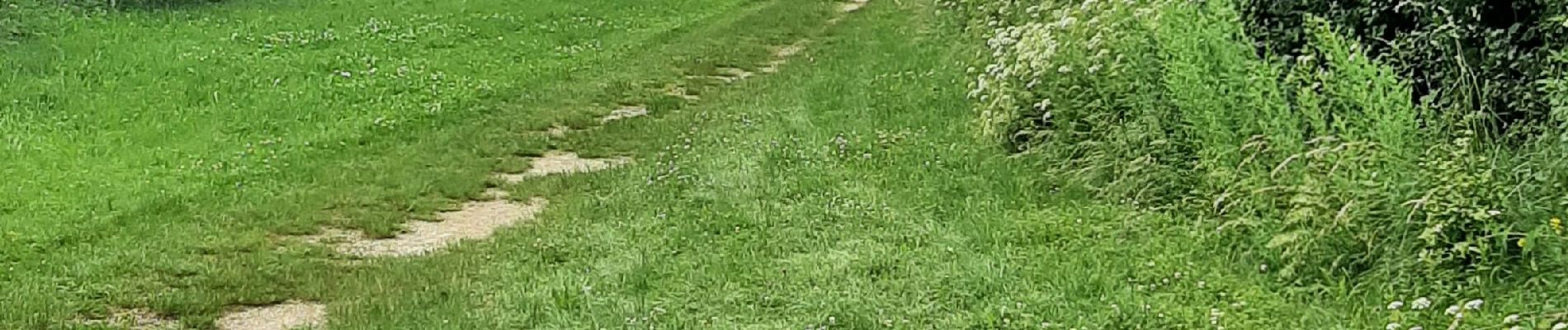
Photos


Positioning
Country:
France
Region :
Bourgogne-Franche-Comté
Department/Province :
Doubs
Municipality :
Unknown
Location:
Unknown
Start:(Dec)
Start:(UTM)
313897 ; 5231831 (32T) N.
Comments