


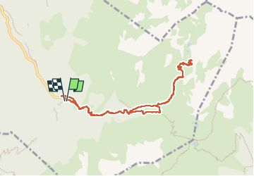
LES LACS DU VENETIER

walrou63
User

Length
9.5 km

Max alt
2103 m

Uphill gradient
748 m
Km-Effort
19.5 km

Min alt
1347 m

Downhill gradient
754 m
Boucle
Yes
Creation date :
2025-06-18 07:28:07.829
Updated on :
2025-06-18 15:05:47.676
7h06
Difficulty : Very difficult

FREE GPS app for hiking
 SityTrail
IGN / Geographical institutes
SityTrail Plus
The world is yours!
About
Trail Walking of 9.5 km to be discovered at Auvergne-Rhône-Alpes, Isère, Laval-en-Belledonne. This trail is proposed by walrou63.
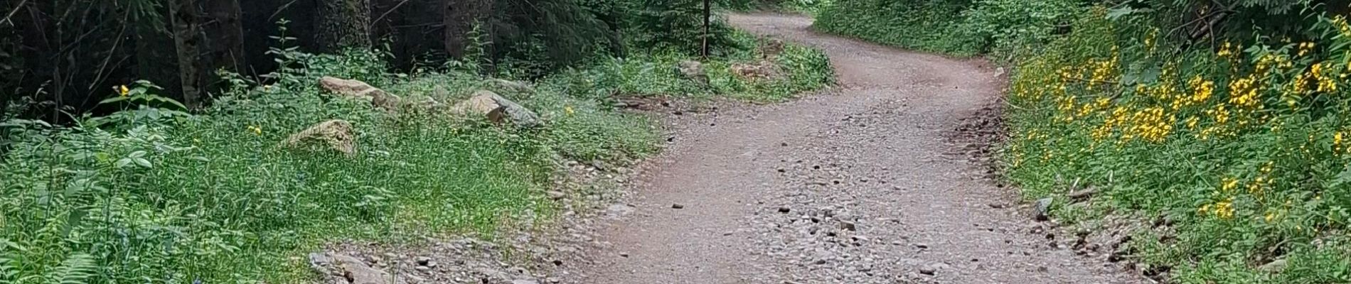
Photos


39 photos in total. Please click on a photo to see them all in the gallery.
Positioning
Country:
France
Region :
Auvergne-Rhône-Alpes
Department/Province :
Isère
Municipality :
Laval-en-Belledonne
Location:
Unknown
Start:(Dec)
Start:(UTM)
735434 ; 5012264 (31T) N.
Comments