


aiguille petite fourche et blanche

Bruno Devigne
User
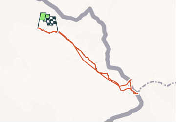

Length
7.1 km

Max alt
3493 m

Uphill gradient
785 m
Km-Effort
17.2 km

Min alt
2710 m

Downhill gradient
672 m
Boucle
No
Creation date :
2025-06-17 03:02:20.977
Updated on :
2025-06-19 08:22:49.039
4h04
Difficulty : Medium

FREE GPS app for hiking
 SityTrail
IGN / Geographical institutes
SityTrail Plus
The world is yours!
About
Trail Walking of 7.1 km to be discovered at Auvergne-Rhône-Alpes, Upper Savoy, Chamonix-Mont-Blanc. This trail is proposed by Bruno Devigne.
Description
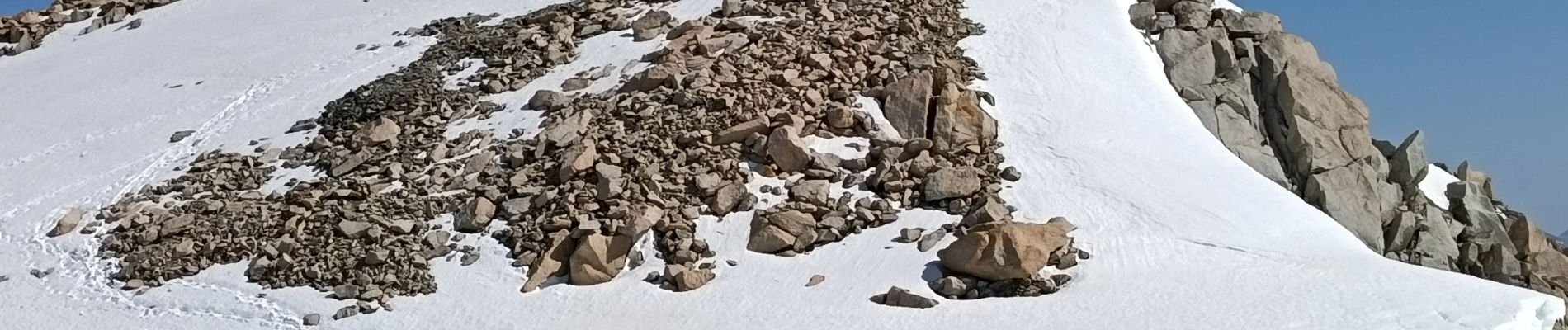
belle rando alpine sur glacier
Photos


Positioning
Country:
France
Region :
Auvergne-Rhône-Alpes
Department/Province :
Upper Savoy
Municipality :
Chamonix-Mont-Blanc
Location:
Unknown
Start:(Dec)
Start:(UTM)
344121 ; 5095650 (32T) N.
Comments