Trail Walking Fontaines-en-Sologne - Fontaines-en-Sologne - Les étangs - Photo

Fontaines-en-Sologne - Les étangs

 guydu41
guydu41

User

© OpenStreetMap contributors
Length
Length
12.6 km
Max alt
Max alt
123 m
Uphill gradient
Uphill gradient
119 m
Km-Effort
Km-Effort  
14.2 km
Min alt
Min alt
82 m
Downhill gradient
Downhill gradient
120 m
Boucle
Boucle
Yes
Creation date :
2025-06-19 05:50:27.973
Updated on :
2025-06-19 21:27:23.943

(0 Reviews)

Walking
Walking
3h05
Difficulty : Easy

Scan this QR Code to open this trail in the SityTrail application

FREE GPS app for hiking

Logo SityTrail SityTrail

IGN / Geographical institutes

Download SityTrail from the App Store Download SityTrail from Google Play

Logo SityTrail SityTrail Plus

The world is yours!

Download SityTrail from the App Store Download SityTrail from Google Play Download SityTrail on Huawei AppGallery

About

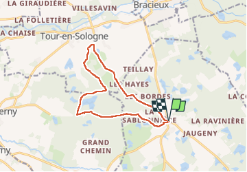
Trail Walking of 12.6 km to be discovered at Centre-Loire Valley, Loir-et-Cher, Fontaines-en-Sologne. This trail is proposed by guydu41.

Description

Ce circuit en sens horaire commence depuis des aires de stationnement à côté de l'Eglise Notre-Dame de Fontaines-en-Sologne.
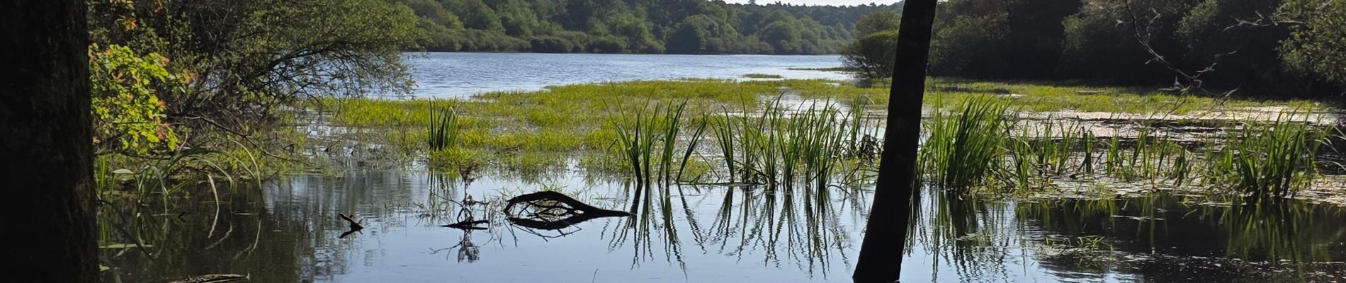
Ce parcours en très grande partie dans la forêt longe plusieurs étangs que l'on peut admirer.
La fin du circuit passe à côté d'un petit observatoire astronomique construit en 2005 et utilisé par les passionnés de l'observation du ciel.

Elevation profile

Photos

22 photos in total. Please click on a photo to see them all in the gallery.

Positioning

Country:
France
Region :
Centre-Loire Valley
Department/Province :
Loir-et-Cher
Municipality :
Fontaines-en-Sologne
Location:
Unknown
Start:(UTM)
390840 ; 5262802 (31T) N.


Close
My subscriptions