


anserem

Christian Grétry
User


Length
20 km

Max alt
221 m

Uphill gradient
547 m
Km-Effort
28 km

Min alt
88 m

Downhill gradient
546 m
Boucle
Yes
Creation date :
2025-06-22 08:34:14.969
Updated on :
2025-06-22 15:21:55.202
6h12
Difficulty : Medium

FREE GPS app for hiking
 SityTrail
IGN / Geographical institutes
SityTrail Plus
The world is yours!
About
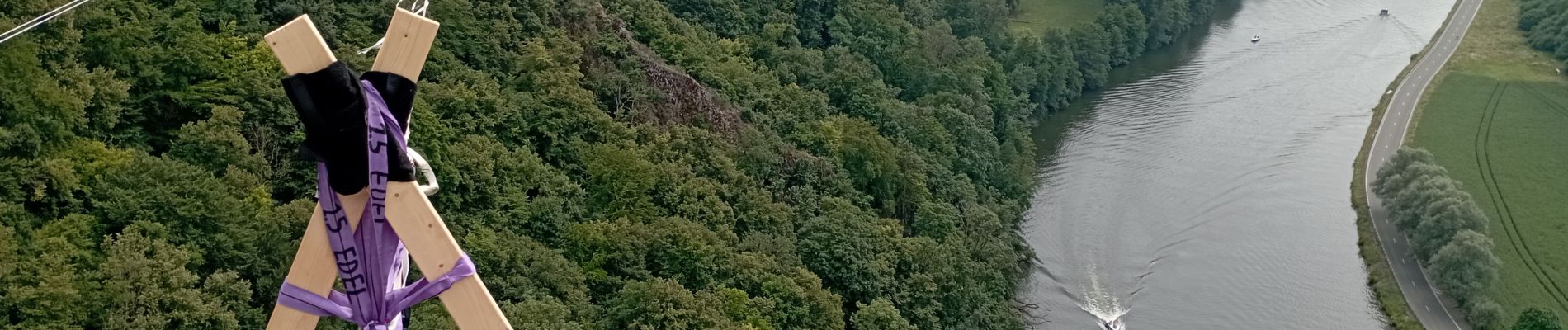
Trail Walking of 20 km to be discovered at Wallonia, Namur, Dinant. This trail is proposed by Christian Grétry.
Photos


Positioning
Country:
Belgium
Region :
Wallonia
Department/Province :
Namur
Municipality :
Dinant
Location:
Unknown
Start:(Dec)
Start:(UTM)
636008 ; 5566867 (31U) N.
Comments