


Remiremont - Remiremont via Cornimont et Col de Morbieux

claudel
User
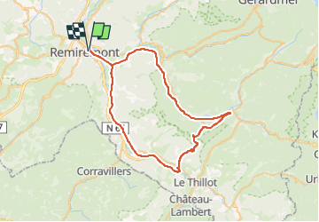

Length
57 km

Max alt
808 m

Uphill gradient
758 m
Km-Effort
67 km

Min alt
382 m

Downhill gradient
758 m
Boucle
Yes
Creation date :
2025-06-22 17:16:57.581
Updated on :
2025-06-22 17:17:39.407
4h03
Difficulty : Very difficult

FREE GPS app for hiking
 SityTrail
IGN / Geographical institutes
SityTrail Plus
The world is yours!
About
Trail Road bike of 57 km to be discovered at Grand Est, Vosges, Remiremont. This trail is proposed by claudel.
Positioning
Country:
France
Region :
Grand Est
Department/Province :
Vosges
Municipality :
Remiremont
Location:
Unknown
Start:(Dec)
Start:(UTM)
320911 ; 5320891 (32U) N.
Comments