


beure deviante

eltonnermou
User
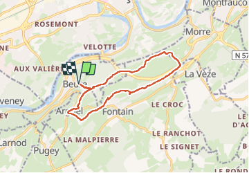


2h08
Difficulty : Easy

FREE GPS app for hiking
 SityTrail
IGN / Geographical institutes
SityTrail Plus
The world is yours!
About
Trail Walking of 13 km to be discovered at Bourgogne-Franche-Comté, Doubs, Beure. This trail is proposed by eltonnermou.
Description
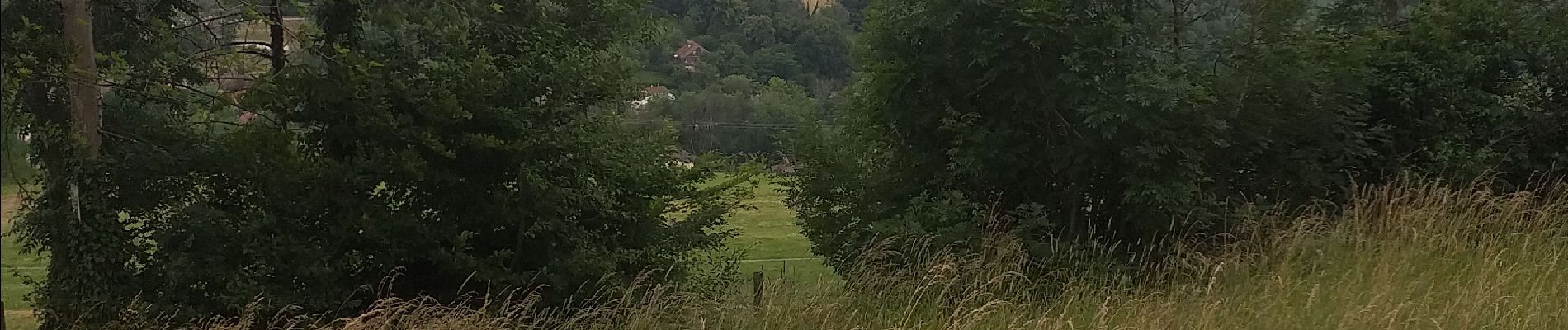
un beau parcours à travers prairies et bois, de beaux points de vue tout au long du parcours. Pendant quelques dizaines de mètres vous longez un mur de pierres sèches.
Vous pouvez à tout moment modifier le trajet, en fonction de vos envies. Ce tracé en est la preuve.
Photos


Positioning
Comments