


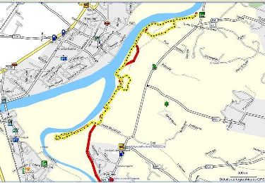
8.9 km | 10 km-effort

User


FREE GPS app for hiking
 SityTrail
IGN / Geographical institutes
SityTrail World
The world is yours!
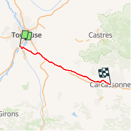
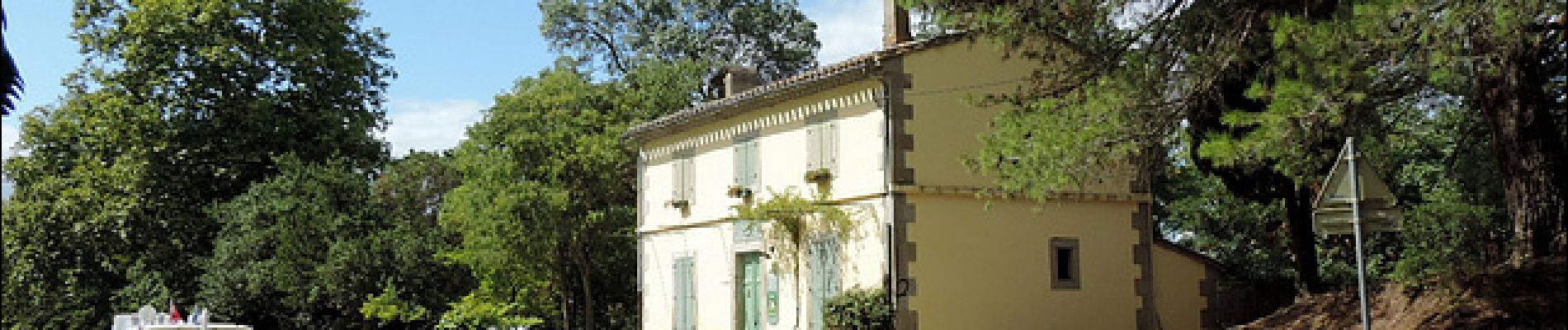
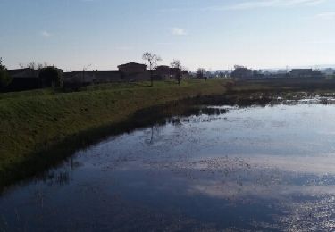
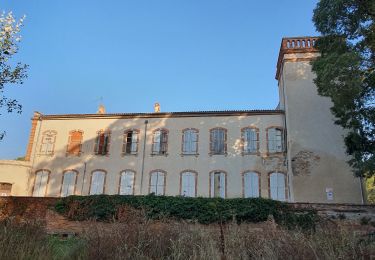
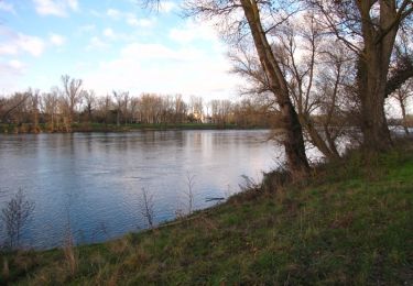
Trail Cycle of 106 km to be discovered at Occitania, Haute-Garonne, Roques. This trail is proposed by destras.
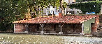
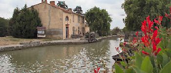
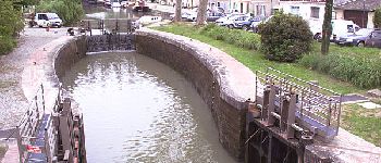
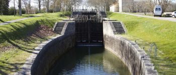
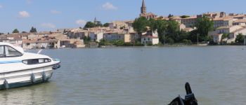
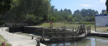
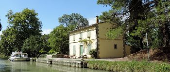
de Roques à Carcassonne en vélo à assistance électrique VAE par le canal du midi


Walking

Mountain bike
Walking

Electric bike
Mountain bike
Walking
Walking
Walking

Hybrid bike