


5 km | 6.8 km-effort

User


FREE GPS app for hiking
 SityTrail
IGN / Geographical institutes
SityTrail World
The world is yours!
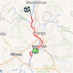
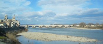
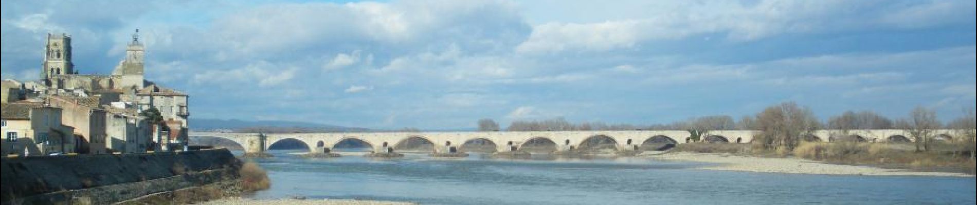
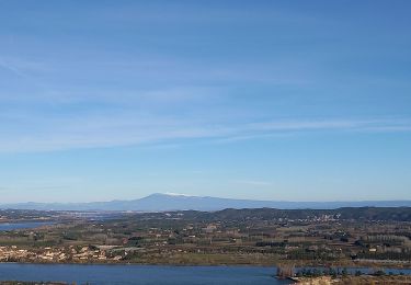
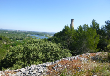
Trail Cycle of 108 km to be discovered at Provence-Alpes-Côte d'Azur, Bouches-du-Rhône, Tarascon. This trail is proposed by destras.
de Tarascon à bourg Saint Andéol
en vélo à assistance électrique VAE par la ViaRhôna


Walking
Walking
Walking
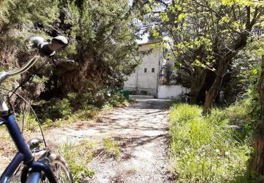
Hybrid bike
Walking
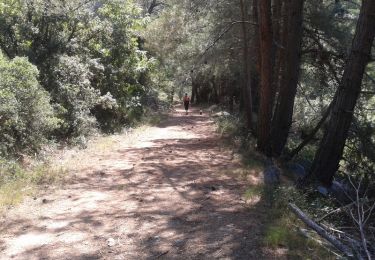
Walking
Walking
On foot