


Cols de Sanguiniere et de la Baïssa

jouans
User GUIDE
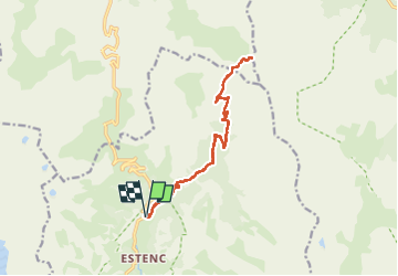

Length
16.3 km

Max alt
2604 m

Uphill gradient
815 m
Km-Effort
27 km

Min alt
1847 m

Downhill gradient
813 m
Boucle
Yes
Creation date :
2025-06-27 06:03:37.0
Updated on :
2025-06-27 16:08:40.185
6h11
Difficulty : Very difficult

FREE GPS app for hiking
 SityTrail
IGN / Geographical institutes
SityTrail Plus
The world is yours!
About
Trail Walking of 16.3 km to be discovered at Provence-Alpes-Côte d'Azur, Maritime Alps, Entraunes. This trail is proposed by jouans.
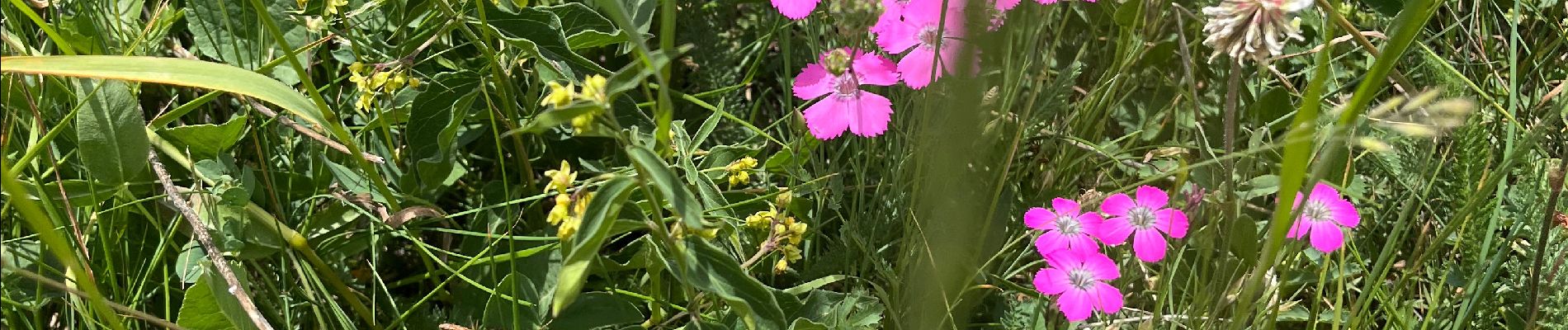
Photos


Positioning
Country:
France
Region :
Provence-Alpes-Côte d'Azur
Department/Province :
Maritime Alps
Municipality :
Entraunes
Location:
Unknown
Start:(Dec)
Start:(UTM)
320760 ; 4901324 (32T) N.
Comments