


Nevache vallée étroite col vallon

RoMo
User
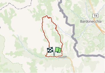

Length
25 km

Max alt
2641 m

Uphill gradient
1495 m
Km-Effort
45 km

Min alt
1591 m

Downhill gradient
1496 m
Boucle
Yes
Creation date :
2025-06-24 06:15:16.84
Updated on :
2025-06-28 19:23:26.949
7h32
Difficulty : Very difficult

FREE GPS app for hiking
 SityTrail
IGN / Geographical institutes
SityTrail Plus
The world is yours!
About
Trail Walking of 25 km to be discovered at Provence-Alpes-Côte d'Azur, Hautes-Alpes, Névache. This trail is proposed by RoMo.
Description
boucle aller par gr 5 vallée étroite retour par col du vallon pr jusqu'à Nevache
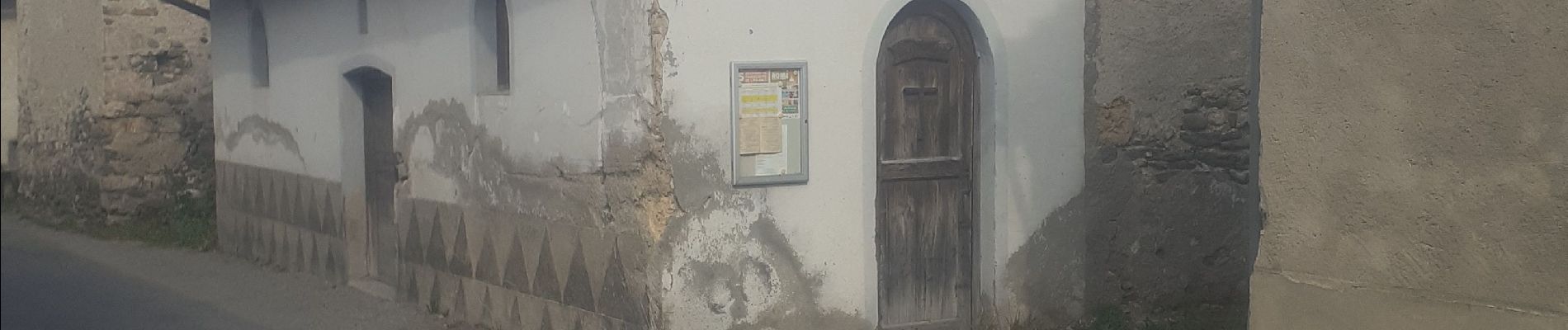
Photos


30 photos in total. Please click on a photo to see them all in the gallery.
Positioning
Country:
France
Region :
Provence-Alpes-Côte d'Azur
Department/Province :
Hautes-Alpes
Municipality :
Névache
Location:
Unknown
Start:(Dec)
Start:(UTM)
312243 ; 4987866 (32T) N.
Comments