


chedigny

RoMo
User
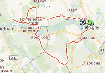

Length
11.3 km

Max alt
106 m

Uphill gradient
118 m
Km-Effort
12.8 km

Min alt
63 m

Downhill gradient
117 m
Boucle
Yes
Creation date :
2025-06-29 06:47:17.867
Updated on :
2025-06-29 10:23:17.658
2h35
Difficulty : Easy

FREE GPS app for hiking
 SityTrail
IGN / Geographical institutes
SityTrail Plus
The world is yours!
About
Trail Walking of 11.3 km to be discovered at Centre-Loire Valley, Indre-et-Loire, Chédigny. This trail is proposed by RoMo.
Description
boucle
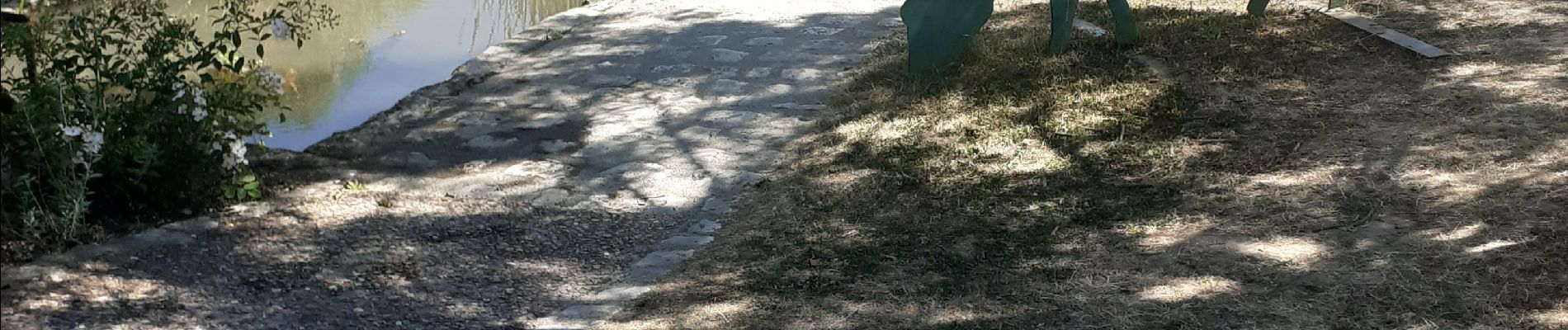
Photos


Positioning
Country:
France
Region :
Centre-Loire Valley
Department/Province :
Indre-et-Loire
Municipality :
Chédigny
Location:
Unknown
Start:(Dec)
Start:(UTM)
348333 ; 5230314 (31T) N.
Comments