


Lapugnoy

jpblimond
User
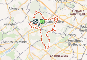

Length
16.5 km

Max alt
94 m

Uphill gradient
291 m
Km-Effort
20 km

Min alt
25 m

Downhill gradient
291 m
Boucle
Yes
Creation date :
2025-06-29 11:09:37.0
Updated on :
2025-06-29 15:35:01.292
4h24
Difficulty : Medium

FREE GPS app for hiking
 SityTrail
IGN / Geographical institutes
SityTrail Plus
The world is yours!
About
Trail Walking of 16.5 km to be discovered at Hauts-de-France, Pas-de-Calais, Lapugnoy. This trail is proposed by jpblimond.
Positioning
Country:
France
Region :
Hauts-de-France
Department/Province :
Pas-de-Calais
Municipality :
Lapugnoy
Location:
Unknown
Start:(Dec)
Start:(UTM)
467411 ; 5596040 (31U) N.
Comments