


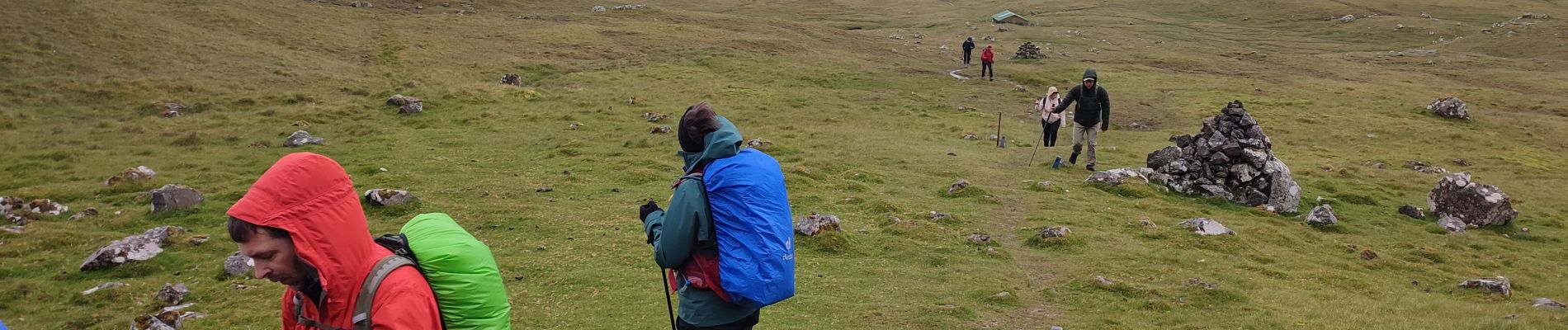
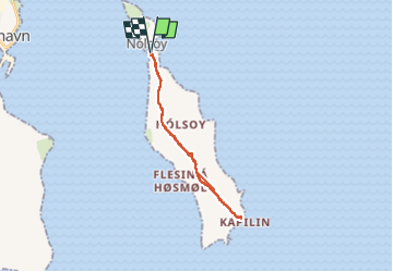
Nólsoy Kallur Lighthouse

Geert H.
User


3h33
Difficulty : Difficult

FREE GPS app for hiking
 SityTrail
IGN / Geographical institutes
SityTrail Plus
The world is yours!
About
Trail Walking of 14.8 km to be discovered at Streymoy region, Unknown, Nólsoy. This trail is proposed by Geert H..
Description
The small white and red painted lighthouse is nestled on the northernmost tip on the island. Everyone wanting to visit the scenery will go for a hike. Kallur Lighthouse was built in 1927 and is now steadily growing in popularity.
Photos


Positioning
Comments