


La Routo Larche Bersezio

taguette
User
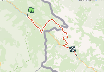

Length
23 km

Max alt
2506 m

Uphill gradient
963 m
Km-Effort
36 km

Min alt
1610 m

Downhill gradient
1031 m
Boucle
No
Creation date :
2025-06-28 05:35:41.059
Updated on :
2025-06-30 10:51:37.079
8h27
Difficulty : Very difficult

FREE GPS app for hiking
 SityTrail
IGN / Geographical institutes
SityTrail Plus
The world is yours!
About
Trail Walking of 23 km to be discovered at Provence-Alpes-Côte d'Azur, Alpes-de-Haute-Provence, Val-d'Oronaye. This trail is proposed by taguette.
Positioning
Country:
France
Region :
Provence-Alpes-Côte d'Azur
Department/Province :
Alpes-de-Haute-Provence
Municipality :
Val-d'Oronaye
Location:
Larche
Start:(Dec)
Start:(UTM)
329082 ; 4923634 (32T) N.
Comments