


Sandur - Søltuvik

Geert H.
User
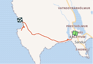

Length
6.1 km

Max alt
79 m

Uphill gradient
108 m
Km-Effort
7.6 km

Min alt
3 m

Downhill gradient
104 m
Boucle
No
Creation date :
2025-06-30 07:17:01.893
Updated on :
2025-07-08 14:34:53.099
1h25
Difficulty : Medium

FREE GPS app for hiking
 SityTrail
IGN / Geographical institutes
SityTrail Plus
The world is yours!
About
Trail Walking of 6.1 km to be discovered at Sandoy region, Unknown, Sandur. This trail is proposed by Geert H..
Description
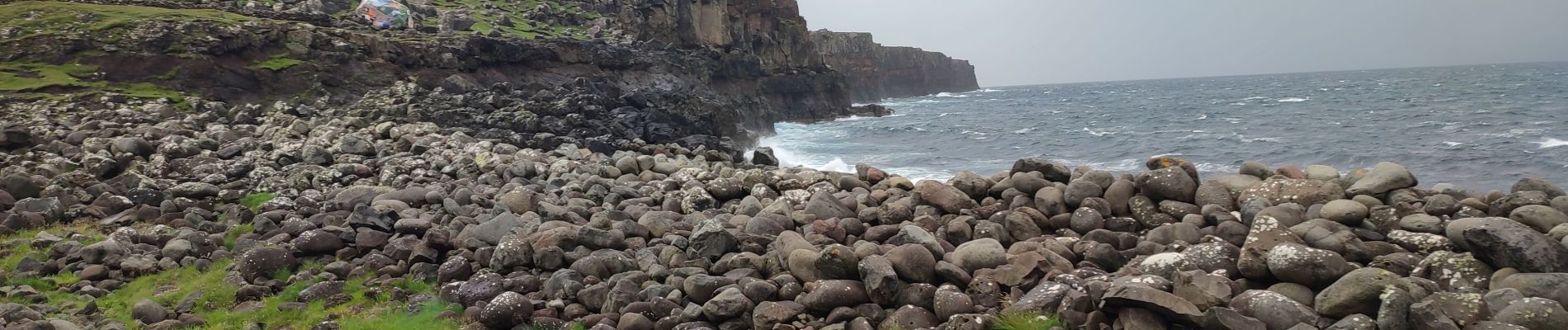
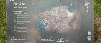
Vanuit Sandur wandelen we naar de baai van Søltuvik, met onderweg spectaculaire
kliffen
Photos


Positioning
Country:
Faroe Islands
Region :
Sandoy region
Department/Province :
Unknown
Municipality :
Sandur
Location:
Unknown
Start:(Dec)
Start:(UTM)
614303 ; 6857911 (29V) N.
Comments