


montresor

RoMo
User
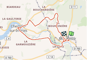

Length
9.3 km

Max alt
132 m

Uphill gradient
124 m
Km-Effort
10.9 km

Min alt
88 m

Downhill gradient
123 m
Boucle
Yes
Creation date :
2025-07-02 07:00:55.503
Updated on :
2025-07-02 14:41:29.899
2h20
Difficulty : Easy

FREE GPS app for hiking
 SityTrail
IGN / Geographical institutes
SityTrail Plus
The world is yours!
About
Trail Walking of 9.3 km to be discovered at Centre-Loire Valley, Indre-et-Loire, Montrésor. This trail is proposed by RoMo.
Description
boucle par chemille sur indrois
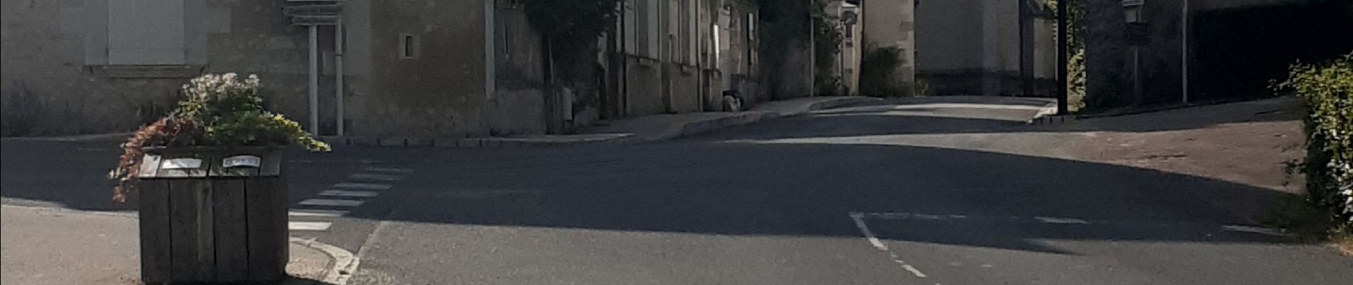
Photos


Positioning
Country:
France
Region :
Centre-Loire Valley
Department/Province :
Indre-et-Loire
Municipality :
Montrésor
Location:
Unknown
Start:(Dec)
Start:(UTM)
363702 ; 5224117 (31T) N.
Comments