


crissay sur mance

RoMo
User
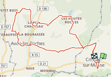

Length
14.2 km

Max alt
109 m

Uphill gradient
217 m
Km-Effort
17.1 km

Min alt
47 m

Downhill gradient
215 m
Boucle
Yes
Creation date :
2025-07-03 07:23:58.159
Updated on :
2025-07-03 15:40:33.901
3h16
Difficulty : Medium

FREE GPS app for hiking
 SityTrail
IGN / Geographical institutes
SityTrail Plus
The world is yours!
About
Trail Walking of 14.2 km to be discovered at Centre-Loire Valley, Indre-et-Loire, Crissay-sur-Manse. This trail is proposed by RoMo.
Description
boucle
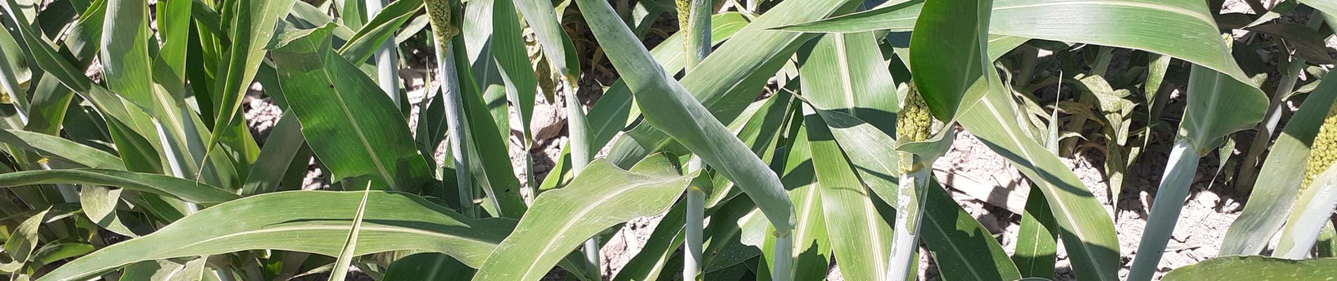
Photos


Positioning
Country:
France
Region :
Centre-Loire Valley
Department/Province :
Indre-et-Loire
Municipality :
Crissay-sur-Manse
Location:
Unknown
Start:(Dec)
Start:(UTM)
309491 ; 5224864 (31T) N.
Comments