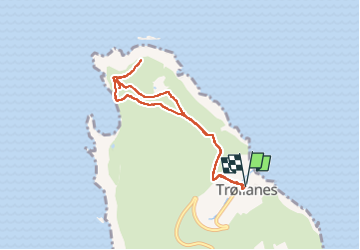
Trail Walking Trøllanes - Kallur Lighthouse  - Photo
 Geert H.
Geert H.

User

© OpenStreetMap contributors
Length
Length
4.9 km
Max alt
Max alt
318 m
Uphill gradient
Uphill gradient
340 m
Km-Effort
Km-Effort  
9.4 km
Min alt
Min alt
25 m
Downhill gradient
Downhill gradient
338 m
Boucle
Boucle
Yes
Creation date :
2025-07-04 10:10:08.256
Updated on :
2025-07-08 15:06:49.688

(0 Reviews)

Walking
Walking
2h08
Difficulty : Medium

Scan this QR Code to open this trail in the SityTrail application

FREE GPS app for hiking

Logo SityTrail SityTrail

IGN / Geographical institutes

Download SityTrail from the App Store Download SityTrail from Google Play

Logo SityTrail SityTrail Plus

The world is yours!

Download SityTrail from the App Store Download SityTrail from Google Play Download SityTrail on Huawei AppGallery

About

Trail Walking of 4.9 km to be discovered at Norðoyar region, Unknown, Trøllanes. This trail is proposed by Geert H..

Description

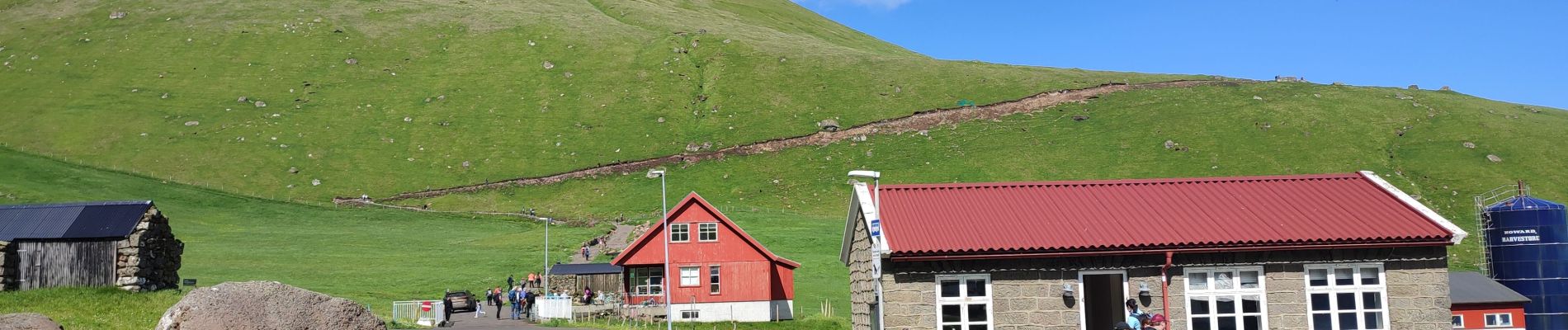
Kallur Lighthouse is among the most crowded attractions in the breathtaking Faroe Islands. Located on the long and narrow Kalsoy Island, the views you get here are otherworldly.

The small white and red painted lighthouse is nestled on the northernmost tip on the island. Everyone wanting to visit the scenery will go for a hike. Kallur Lighthouse was built in 1927 and is now steadily growing in popularity.

Elevation profile

Photos

Positioning

Country:
Faroe Islands
Region :
Norðoyar region
Department/Province :
Unknown
Municipality :
Trøllanes
Location:
Unknown
Start:(UTM)
614416 ; 6916428 (29V) N.


Close
My subscriptions