


Fondettes - La vallée de Choisille

guydu41
User


2h35
Difficulty : Medium

FREE GPS app for hiking
 SityTrail
IGN / Geographical institutes
SityTrail Plus
The world is yours!
About
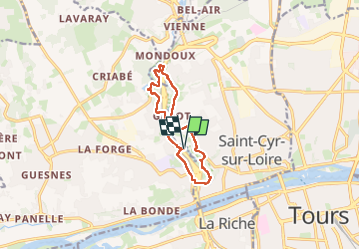
Trail Walking of 9.7 km to be discovered at Centre-Loire Valley, Indre-et-Loire, Fondettes. This trail is proposed by guydu41.
Description
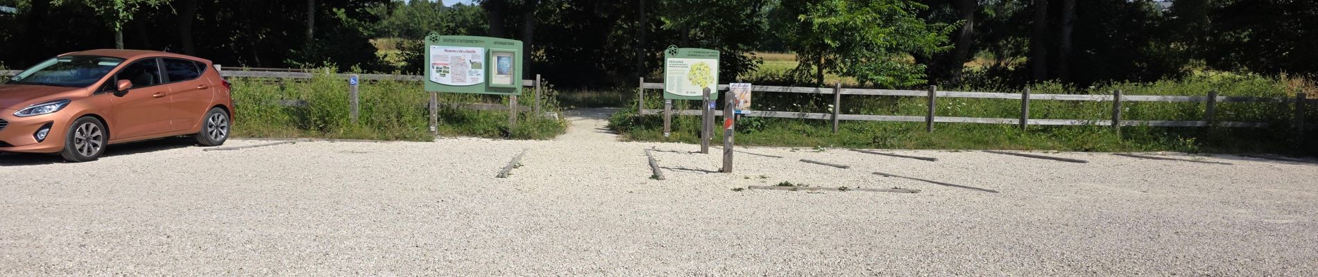
Le circuit commence depuis le parking 19 Rue de Charcenay, 37230 Fondettes.
Balisé jaune, il emprunte des petites routes, chemins et sentiers à travers champs, bois, le long de la vallée de Choisille, franchit quatre fois la voie express M37 par des tunnels et ponts et plusieurs fois des rivières et ruisseaux sur des passerelles en bois.
Le parcours est ponctué de nombreux panneaux d'informations sur la nature et la flore, passe à proximité d'un gigantesque nichoir à oiseaux et chauves-souris (œuvre de François-Xavier CHANIOUX) et du bélier hydraulique de Charcenay.
Photos


47 photos in total. Please click on a photo to see them all in the gallery.
Positioning
Comments