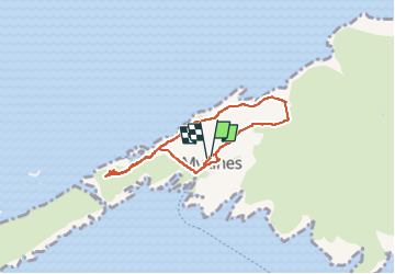
Trail Walking Mykines - Mykines - Photo
 Geert H.
Geert H.

User

© OpenStreetMap contributors
Length
Length
4.4 km
Max alt
Max alt
164 m
Uphill gradient
Uphill gradient
241 m
Km-Effort
Km-Effort  
7.6 km
Min alt
Min alt
9 m
Downhill gradient
Downhill gradient
242 m
Boucle
Boucle
Yes
Creation date :
2025-07-05 09:33:13.983
Updated on :
2025-07-08 15:09:33.195

(0 Reviews)

Walking
Walking
1h33
Difficulty : Easy

Scan this QR Code to open this trail in the SityTrail application

FREE GPS app for hiking

Logo SityTrail SityTrail

IGN / Geographical institutes

Download SityTrail from the App Store Download SityTrail from Google Play

Logo SityTrail SityTrail Plus

The world is yours!

Download SityTrail from the App Store Download SityTrail from Google Play Download SityTrail on Huawei AppGallery

About

Trail Walking of 4.4 km to be discovered at Vágar region, Unknown, Mykines. This trail is proposed by Geert H..

Description

day tour to Mykines is on many travellers’ bucket lists when visiting the archipelago in the summer months. Most people enjoy the island on a guided day tour with a local tour guide.

Experienced local guides take adventurous travellers along rolling green summer hills and all the way to the remotely located puffins. Travellers spend a day in Mykines to enjoy the astonishing vistas and recharge.
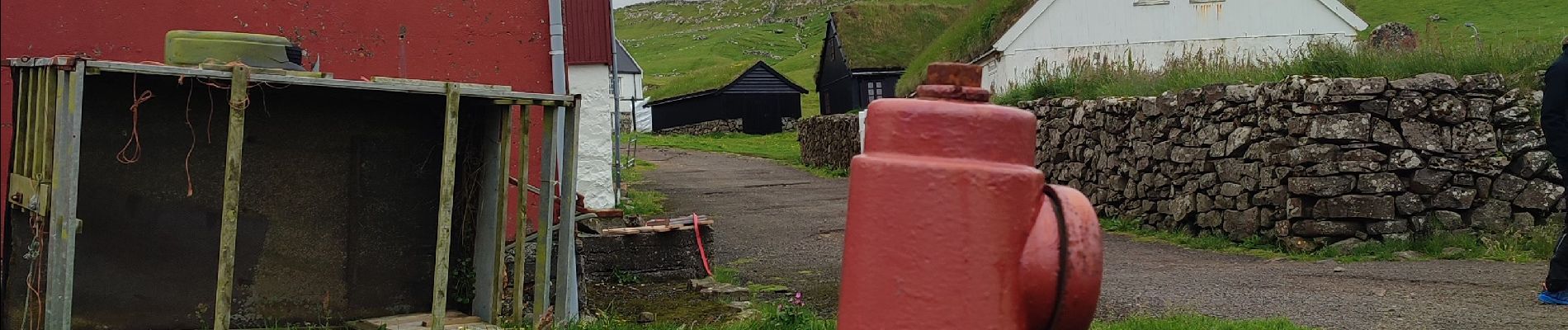
Elevation profile

Photos

Positioning

Country:
Faroe Islands
Region :
Vágar region
Department/Province :
Unknown
Municipality :
Mykines
Location:
Unknown
Start:(UTM)
570759 ; 6886508 (29V) N.


Close
My subscriptions