


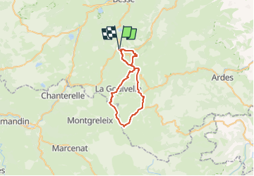
VTT2 Compains à Brion et Montagne de Chamaroux

GrouGary
User


3h15
Difficulty : Difficult

FREE GPS app for hiking
 SityTrail
IGN / Geographical institutes
SityTrail Plus
The world is yours!
About
Trail Mountain bike of 36 km to be discovered at Auvergne-Rhône-Alpes, Puy-de-Dôme, Compains. This trail is proposed by GrouGary.
Description
Sortie VTT 2
Départ Cimetière de Compains (997) ; La boucle peut aussi se faire depuis BRION haut (1202) ;
Boucle VTT empruntant petites routes, GR 30, et liaison ?
Après Brion, le GR 30 passe à côté du Buron de la LOUBEYRE
Passer sous la Montagne de Chamaroux et ferme de Chamaroux
840 et 36 km
Positioning
Comments