


pointes Lachenal

Bruno Devigne
User
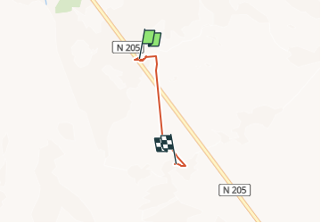

Length
2.7 km

Max alt
3787 m

Uphill gradient
103 m
Km-Effort
4.8 km

Min alt
3484 m

Downhill gradient
331 m
Boucle
No
Creation date :
2025-06-20 05:44:55.656
Updated on :
2025-07-10 09:52:31.074
54m
Difficulty : Easy

FREE GPS app for hiking
 SityTrail
IGN / Geographical institutes
SityTrail Plus
The world is yours!
About
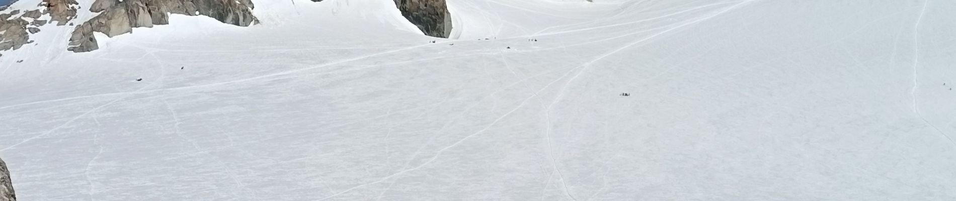
Trail Walking of 2.7 km to be discovered at Auvergne-Rhône-Alpes, Upper Savoy, Chamonix-Mont-Blanc. This trail is proposed by Bruno Devigne.
Description
montée télécabine aiguille du midi
Photos


Positioning
Country:
France
Region :
Auvergne-Rhône-Alpes
Department/Province :
Upper Savoy
Municipality :
Chamonix-Mont-Blanc
Location:
Unknown
Start:(Dec)
Start:(UTM)
336059 ; 5082778 (32T) N.
Comments