


Pic St Michel

ajd26
User
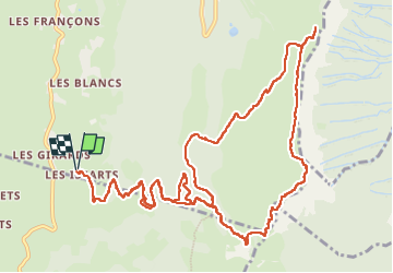

Length
16.3 km

Max alt
1965 m

Uphill gradient
1035 m
Km-Effort
30 km

Min alt
1092 m

Downhill gradient
1034 m
Boucle
Yes
Creation date :
2025-07-10 06:59:08.0
Updated on :
2025-07-11 06:53:24.519
5h14
Difficulty : Very difficult

FREE GPS app for hiking
 SityTrail
IGN / Geographical institutes
SityTrail Plus
The world is yours!
About
Trail Walking of 16.3 km to be discovered at Auvergne-Rhône-Alpes, Isère, Lans-en-Vercors. This trail is proposed by ajd26.
Description
départ du hameau des Issards
la première heure de montée est raide !!!!
après le pic St Michel, on cherchai le trou St Michel mais on a renoncé car trop éloigné
belle rando avec panoramas superbes
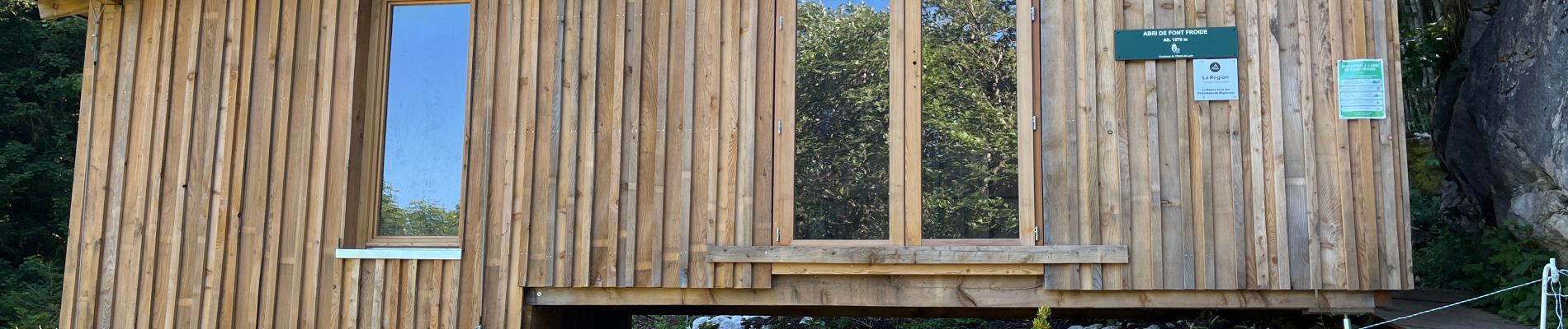
Photos


Positioning
Country:
France
Region :
Auvergne-Rhône-Alpes
Department/Province :
Isère
Municipality :
Lans-en-Vercors
Location:
Unknown
Start:(Dec)
Start:(UTM)
703334 ; 4996260 (31T) N.
Comments