


Puy de la Vache et Puy de Passolas

cordierlavenant
User
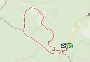

Length
4.9 km

Max alt
1174 m

Uphill gradient
250 m
Km-Effort
8.3 km

Min alt
981 m

Downhill gradient
250 m
Boucle
Yes
Creation date :
2025-07-10 13:37:28.913
Updated on :
2025-07-10 16:18:38.347
2h40
Difficulty : Medium

FREE GPS app for hiking
 SityTrail
IGN / Geographical institutes
SityTrail Plus
The world is yours!
About
Trail Walking of 4.9 km to be discovered at Auvergne-Rhône-Alpes, Puy-de-Dôme, Saint-Genès-Champanelle. This trail is proposed by cordierlavenant.
Positioning
Country:
France
Region :
Auvergne-Rhône-Alpes
Department/Province :
Puy-de-Dôme
Municipality :
Saint-Genès-Champanelle
Location:
Unknown
Start:(Dec)
Start:(UTM)
497488 ; 5060866 (31T) N.
Comments