


le lampy

Licianus2
User GUIDE


1h26
Difficulty : Medium

FREE GPS app for hiking
 SityTrail
IGN / Geographical institutes
SityTrail Plus
The world is yours!
About
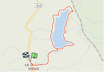
Trail Walking of 5.3 km to be discovered at Occitania, Aude, Saissac. This trail is proposed by Licianus2.
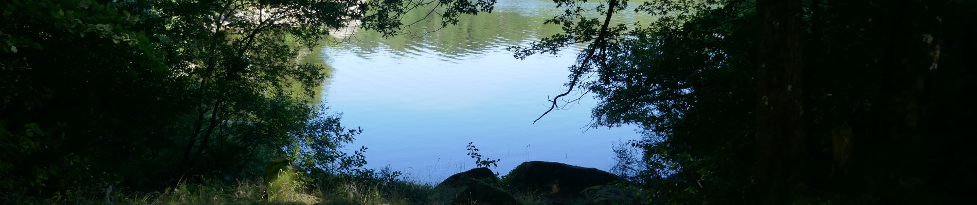
Description
Petite randonnée facile, sans trop de dénivelé, très ombragée et à l'abri du vent. Pas de tracé, mais il suffit de suivre les pistes au plus près des bords du lac. On ne peut pas se tromper. 4 ou 5 gués a traverser plus ou moins faciles en fonction de la saison. En été pas de problème. Seule difficulté, de nombreuses racines obligent à garder les yeux sur le sol au risque de se prendre une " gamelle". Fréquentation limitée malgré la date en plein mois de juillet.
Photos


24 photos in total. Please click on a photo to see them all in the gallery.
Positioning
Comments