


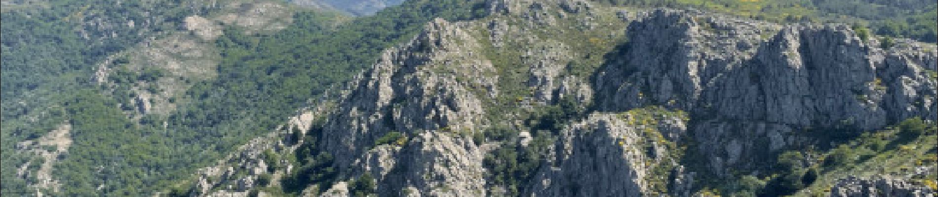
Tour 360 des Rocs Caroux et de la Siejo par les Aiguilles et les Vires

ARVIEU
User


Length
7.8 km

Max alt
1057 m

Uphill gradient
568 m
Km-Effort
15.4 km

Min alt
697 m

Downhill gradient
568 m
Boucle
Yes
Creation date :
2025-07-11 05:43:26.216
Updated on :
2025-07-11 05:46:03.799
4h00
Difficulty : Very difficult

FREE GPS app for hiking
 SityTrail
IGN / Geographical institutes
SityTrail Plus
The world is yours!
About
Trail Walking of 7.8 km to be discovered at Occitania, Hérault, Rosis. This trail is proposed by ARVIEU.
Photos

Points of interest


Positioning
Country:
France
Region :
Occitania
Department/Province :
Hérault
Municipality :
Rosis
Location:
Unknown
Start:(Dec)
Start:(UTM)
497827 ; 4828634 (31T) N.
Comments