


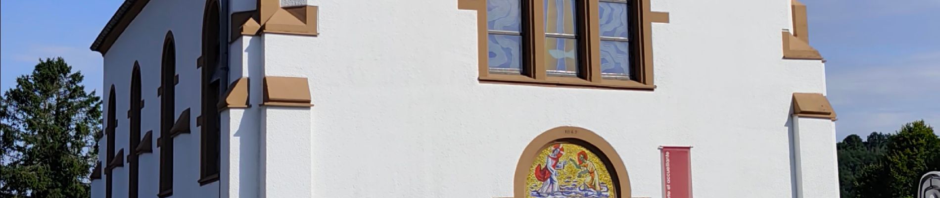
INSENBORN ( Esch-sur-Sûre) ... la lac de la Haute Sûre

GerardBouche
User


2h50
Difficulty : Easy

FREE GPS app for hiking
 SityTrail
IGN / Geographical institutes
SityTrail Plus
The world is yours!
About
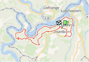
Trail Walking of 10.3 km to be discovered at Unknown, Canton Wiltz, Esch-sur-Sûre. This trail is proposed by GerardBouche.
Description
Depuis le centre du village, une rando très agréable (10.3 km / D 283 m ) par de petits sentiers ombragés jusque la Maison de la forêt de Burfelt avant de retrouver les rives du Lac avec ses petites plages aménagées ... baignade, barbecue, paddle, kayak !
Photos
 ... la lac de la Haute Sûre - Photo 1")
 ... la lac de la Haute Sûre - Photo 2")
Positioning
Comments