


Scry

floflo61
User
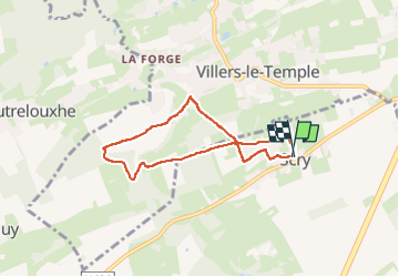

Length
5.7 km

Max alt
262 m

Uphill gradient
101 m
Km-Effort
7 km

Min alt
197 m

Downhill gradient
100 m
Boucle
Yes
Creation date :
2025-07-13 12:25:51.218
Updated on :
2025-07-13 14:38:40.567
1h29
Difficulty : Medium

FREE GPS app for hiking
 SityTrail
IGN / Geographical institutes
SityTrail Plus
The world is yours!
About
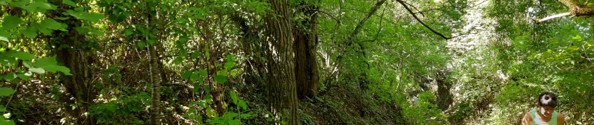
Trail Walking of 5.7 km to be discovered at Wallonia, Liège, Tinlot. This trail is proposed by floflo61.
Photos

Positioning
Country:
Belgium
Region :
Wallonia
Department/Province :
Liège
Municipality :
Tinlot
Location:
Unknown
Start:(Dec)
Start:(UTM)
668513 ; 5596878 (31U) N.
Comments