


CV Niederbronn Rothbach

maureengeorges
User
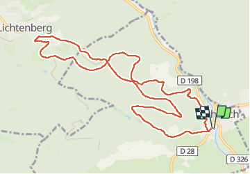

Length
11.8 km

Max alt
375 m

Uphill gradient
336 m
Km-Effort
16.2 km

Min alt
186 m

Downhill gradient
336 m
Boucle
Yes
Creation date :
2025-07-10 06:48:54.249
Updated on :
2025-07-13 15:35:12.914
3h02
Difficulty : Difficult

FREE GPS app for hiking
 SityTrail
IGN / Geographical institutes
SityTrail Plus
The world is yours!
About
Trail Walking of 11.8 km to be discovered at Grand Est, Bas-Rhin, Rothbach. This trail is proposed by maureengeorges.
Positioning
Country:
France
Region :
Grand Est
Department/Province :
Bas-Rhin
Municipality :
Rothbach
Location:
Unknown
Start:(Dec)
Start:(UTM)
392145 ; 5417942 (32U) N.
Comments