


Romans Chateauneuf

meillon
User
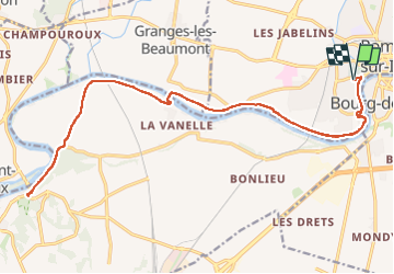

Length
26 km

Max alt
163 m

Uphill gradient
214 m
Km-Effort
28 km

Min alt
128 m

Downhill gradient
215 m
Boucle
Yes
Creation date :
2025-07-13 14:54:53.932
Updated on :
2025-07-13 17:23:30.972
2h27
Difficulty : Easy

FREE GPS app for hiking
 SityTrail
IGN / Geographical institutes
SityTrail Plus
The world is yours!
About
Trail Road bike of 26 km to be discovered at Auvergne-Rhône-Alpes, Drôme, Romans-sur-Isère. This trail is proposed by meillon.
Description
coulee verte agreable
Positioning
Country:
France
Region :
Auvergne-Rhône-Alpes
Department/Province :
Drôme
Municipality :
Romans-sur-Isère
Location:
Unknown
Start:(Dec)
Start:(UTM)
660696 ; 4989472 (31T) N.
Comments