


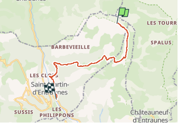
cime de l aspre - st Martin d entraunes

baygonvert
User

Length
11.2 km

Max alt
2449 m

Uphill gradient
39 m
Km-Effort
16.5 km

Min alt
1006 m

Downhill gradient
1475 m
Boucle
No
Creation date :
2025-07-06 06:25:25.196
Updated on :
2025-07-15 15:17:16.166
3h25
Difficulty : Difficult

FREE GPS app for hiking
 SityTrail
IGN / Geographical institutes
SityTrail Plus
The world is yours!
About
Trail Walking of 11.2 km to be discovered at Provence-Alpes-Côte d'Azur, Maritime Alps, Saint-Martin-d'Entraunes. This trail is proposed by baygonvert.
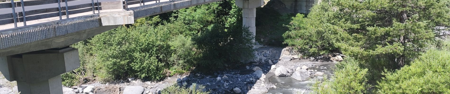
Photos

Positioning
Country:
France
Region :
Provence-Alpes-Côte d'Azur
Department/Province :
Maritime Alps
Municipality :
Saint-Martin-d'Entraunes
Location:
Unknown
Start:(Dec)
Start:(UTM)
324847 ; 4893677 (32T) N.
Comments