Pradelles-Cabardes les glacières

Licianus2
User GUIDE
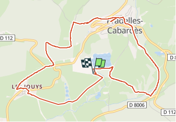


2h01
Difficulty : Medium

FREE GPS app for hiking
 SityTrail
IGN / Geographical institutes
SityTrail Plus
The world is yours!
About
Trail Walking of 7 km to be discovered at Occitania, Aude, Pradelles-Cabardès. This trail is proposed by Licianus2.
Description
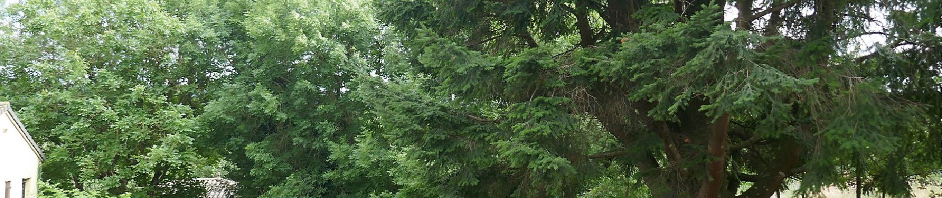
Petite randonnée sans grande difficulté. Les deux tiers sont à l'abri du vent et du soleil (sauf dans la traversée du village). Le dernier tiers est en plein soleil et exposé au vent du Nord. Le circuit est balisé jaune (en peu vieillissant, soyez attentif) et des plaques d'explications sur les glacières et le Cabardès apportent un petit côté culturel qui s'ajoute aux ruines des glacières croisées à plusieurs endroits de l'itinéraire. La balade peut se terminer par une baignade dans le lac qui est assez froid, mais agréable pour les courageux. En été, une buvette est ouverte sur le bord du lac ainsi qu'un mini golf.
Photos


27 photos in total. Please click on a photo to see them all in the gallery.
Positioning
Comments