


Pont d'Espagne lacs

sdroneau
User
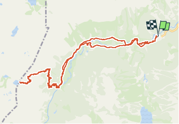

Length
15.6 km

Max alt
2088 m

Uphill gradient
707 m
Km-Effort
25 km

Min alt
1465 m

Downhill gradient
706 m
Boucle
Yes
Creation date :
2025-07-16 06:02:59.457
Updated on :
2025-07-16 10:51:55.235
4h22
Difficulty : Very difficult

FREE GPS app for hiking
 SityTrail
IGN / Geographical institutes
SityTrail Plus
The world is yours!
About
Trail Walking of 15.6 km to be discovered at Occitania, Hautespyrenees, Cauterets. This trail is proposed by sdroneau.
Positioning
Country:
France
Region :
Occitania
Department/Province :
Hautespyrenees
Municipality :
Cauterets
Location:
Unknown
Start:(Dec)
Start:(UTM)
734025 ; 4748447 (30T) N.
Comments