


Pic Queyrel 16/7/25

R@ph
User GUIDE


5h57
Difficulty : Very difficult

FREE GPS app for hiking
 SityTrail
IGN / Geographical institutes
SityTrail Plus
The world is yours!
About
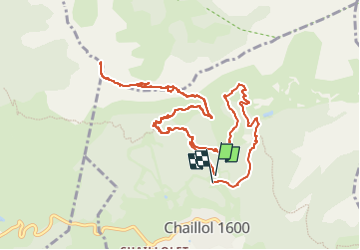
Trail Walking of 14.6 km to be discovered at Provence-Alpes-Côte d'Azur, Hautes-Alpes, Saint-Michel-de-Chaillol. This trail is proposed by R@ph.
Description
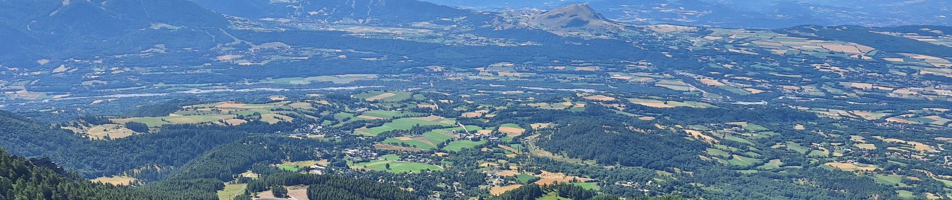
Une belle randonnée classique de la vallée du Champsaur, avec une montée au Pic Queyrel en passant au col du viallet. Une première partie ombragée puis à compter du col davantage exposée au soleil. Certaines parties en balcon offrent de beaux points de vue sur toute la vallée, le massif du Devoluy avec le plateau de Bure. Au retour à partir des Cougnitz j'ai emprunté le chemin du Chevallet en balcon pour revenir au point de départ le nouveau lac collinaire du Clos Chenu.
Cette randonnée ne présente pas de difficulté particulière.
Photos


Positioning
Comments