


LE LAC DE CROP

walrou63
User
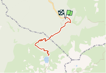

Length
10 km

Max alt
1922 m

Uphill gradient
624 m
Km-Effort
18.3 km

Min alt
1347 m

Downhill gradient
620 m
Boucle
Yes
Creation date :
2025-07-17 05:46:44.217
Updated on :
2025-07-17 12:56:28.303
6h45
Difficulty : Difficult

FREE GPS app for hiking
 SityTrail
IGN / Geographical institutes
SityTrail Plus
The world is yours!
About
Trail Walking of 10 km to be discovered at Auvergne-Rhône-Alpes, Isère, Laval-en-Belledonne. This trail is proposed by walrou63.
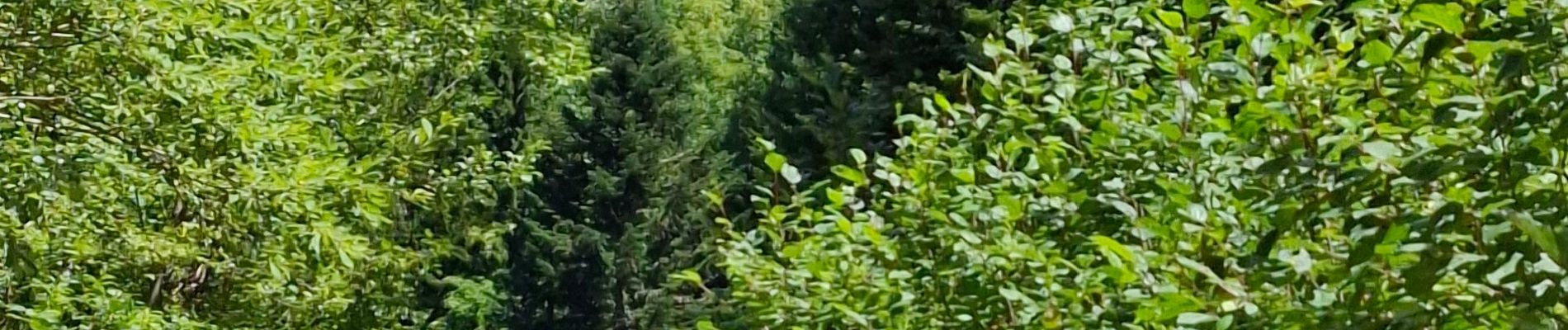
Photos


47 photos in total. Please click on a photo to see them all in the gallery.
Positioning
Country:
France
Region :
Auvergne-Rhône-Alpes
Department/Province :
Isère
Municipality :
Laval-en-Belledonne
Location:
Unknown
Start:(Dec)
Start:(UTM)
735402 ; 5012266 (31T) N.
Comments