


ARCA WALDKIRCH

Gatge
User

Length
12.1 km

Max alt
447 m

Uphill gradient
425 m
Km-Effort
17.7 km

Min alt
257 m

Downhill gradient
424 m
Boucle
Yes
Creation date :
2025-07-17 07:39:29.318
Updated on :
2025-07-17 13:23:30.423
3h35
Difficulty : Medium

FREE GPS app for hiking
 SityTrail
IGN / Geographical institutes
SityTrail Plus
The world is yours!
About
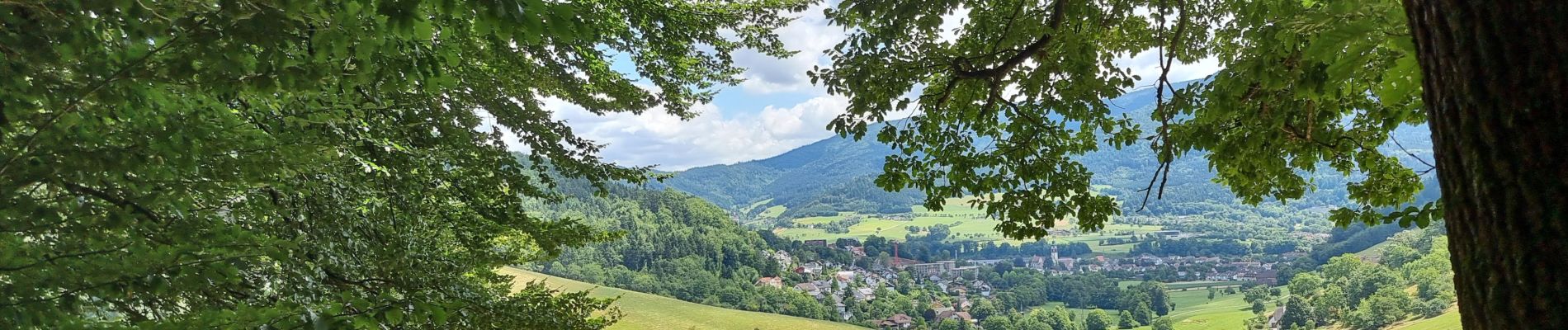
Trail Walking of 12.1 km to be discovered at Baden-Württemberg, Landkreis Emmendingen, Waldkirch. This trail is proposed by Gatge.
Photos


Positioning
Country:
Germany
Region :
Baden-Württemberg
Department/Province :
Landkreis Emmendingen
Municipality :
Waldkirch
Location:
Unknown
Start:(Dec)
Start:(UTM)
422387 ; 5326882 (32U) N.
Comments