


Le bec de lorient

jphugon
User
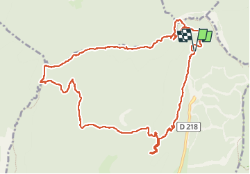

Length
13.6 km

Max alt
1634 m

Uphill gradient
699 m
Km-Effort
23 km

Min alt
1334 m

Downhill gradient
696 m
Boucle
Yes
Creation date :
2025-07-13 07:19:25.084
Updated on :
2025-07-17 14:40:07.761
7h21
Difficulty : Very difficult

FREE GPS app for hiking
 SityTrail
IGN / Geographical institutes
SityTrail Plus
The world is yours!
About
Trail Walking of 13.6 km to be discovered at Auvergne-Rhône-Alpes, Isère, Autrans-Méaudre en Vercors. This trail is proposed by jphugon.
Photos


Positioning
Country:
France
Region :
Auvergne-Rhône-Alpes
Department/Province :
Isère
Municipality :
Autrans-Méaudre en Vercors
Location:
Autrans
Start:(Dec)
Start:(UTM)
702649 ; 5012610 (31T) N.
Comments