


Seelberg

fedinois1
User
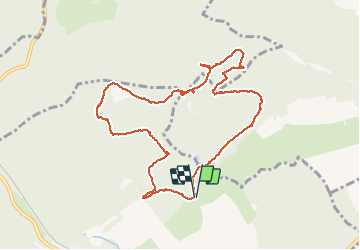

Length
10 km

Max alt
338 m

Uphill gradient
271 m
Km-Effort
13.6 km

Min alt
213 m

Downhill gradient
267 m
Boucle
Yes
Creation date :
2015-08-02 00:00:00.0
Updated on :
2015-08-02 00:00:00.0
3h41
Difficulty : Very easy

FREE GPS app for hiking
 SityTrail
IGN / Geographical institutes
SityTrail Plus
The world is yours!
About
Trail Walking of 10 km to be discovered at Grand Est, Bas-Rhin, Ingwiller. This trail is proposed by fedinois1.
Description
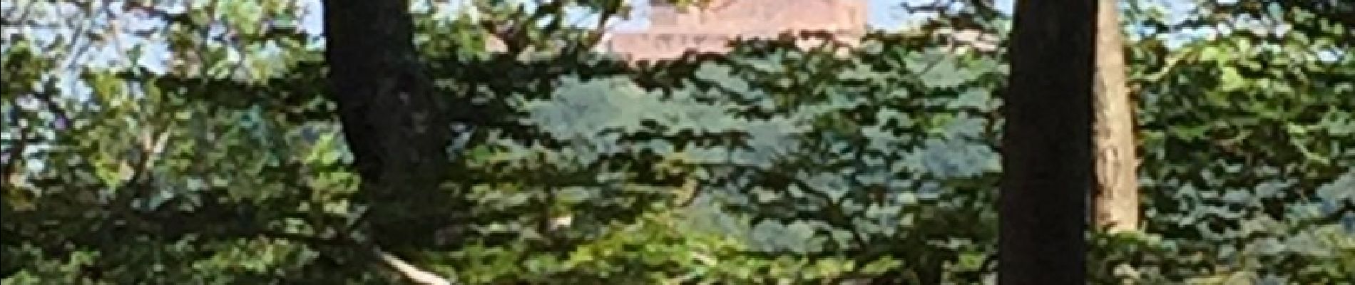
Randonnée facile. A voir : ruines d'une chapelle. Des panneaux explicatifs sur les arbres rencontrés. Stationnement facile surin terrain à proximité d'un chalet du club vosgien.
Photos


Positioning
Country:
France
Region :
Grand Est
Department/Province :
Bas-Rhin
Municipality :
Ingwiller
Location:
Unknown
Start:(Dec)
Start:(UTM)
389211 ; 5416493 (32U) N.
Comments
Belle petite randonnée (presque une promenade !