


Bouc Bel-Air Plan Marseillais

MAUVAGE Patrick
User
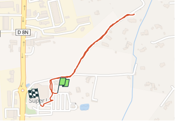

Length
1 km

Max alt
178 m

Uphill gradient
5 m
Km-Effort
1.1 km

Min alt
171 m

Downhill gradient
5 m
Boucle
Yes
Creation date :
2025-07-20 09:26:14.0
Updated on :
2025-07-21 06:40:08.979
16m
Difficulty : Easy

FREE GPS app for hiking
 SityTrail
IGN / Geographical institutes
SityTrail Plus
The world is yours!
About
Trail Walking of 1 km to be discovered at Provence-Alpes-Côte d'Azur, Bouches-du-Rhône, Bouc-Bel-Air. This trail is proposed by MAUVAGE Patrick.
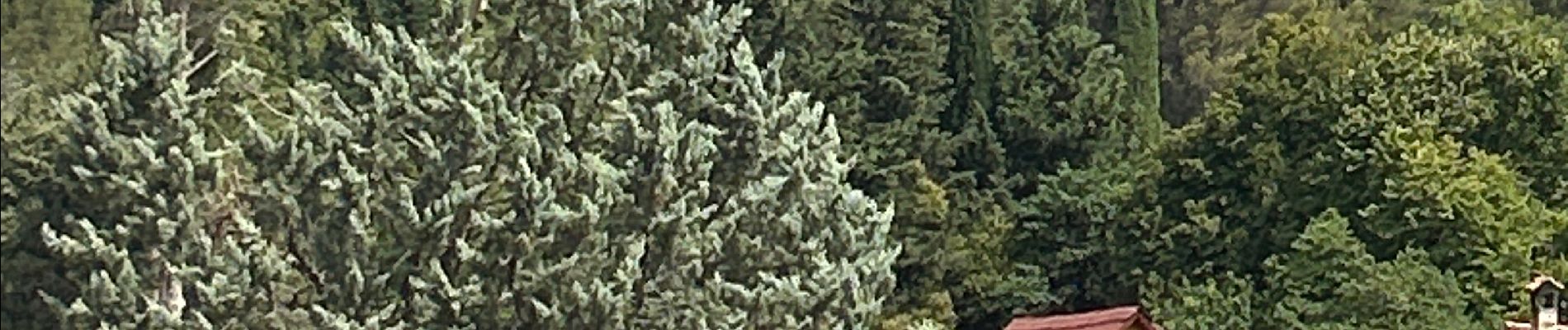
Photos

Positioning
Country:
France
Region :
Provence-Alpes-Côte d'Azur
Department/Province :
Bouches-du-Rhône
Municipality :
Bouc-Bel-Air
Location:
Unknown
Start:(Dec)
Start:(UTM)
694142 ; 4812614 (31T) N.
Comments