


Lugrin

FOUCAULT
User
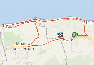

Length
6.1 km

Max alt
455 m

Uphill gradient
107 m
Km-Effort
7.5 km

Min alt
374 m

Downhill gradient
103 m
Boucle
Yes
Creation date :
2025-07-20 13:30:18.0
Updated on :
2025-07-20 16:25:45.705
1h58
Difficulty : Unknown

FREE GPS app for hiking
 SityTrail
IGN / Geographical institutes
SityTrail Plus
The world is yours!
About
Trail Walking of 6.1 km to be discovered at Auvergne-Rhône-Alpes, Upper Savoy, Lugrin. This trail is proposed by FOUCAULT.
Description
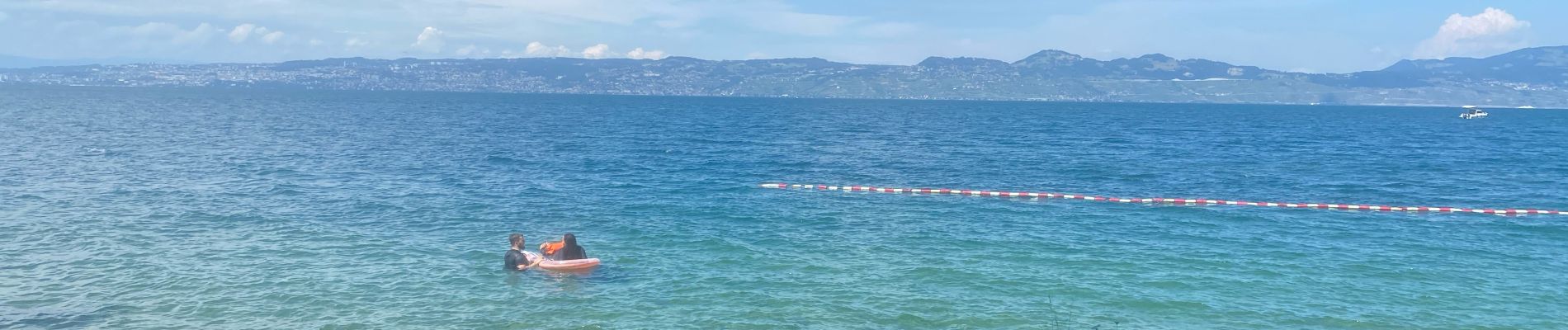
Randonnée du dimanche 20 juillet 2025
Photos

Positioning
Country:
France
Region :
Auvergne-Rhône-Alpes
Department/Province :
Upper Savoy
Municipality :
Lugrin
Location:
Unknown
Start:(Dec)
Start:(UTM)
319203 ; 5141257 (32T) N.
Comments