


Saulzet_Froid_Espinasse_Montenard

jagarnier
User GUIDE
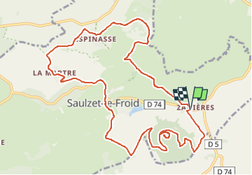

Length
13.1 km

Max alt
1170 m

Uphill gradient
321 m
Km-Effort
17.4 km

Min alt
985 m

Downhill gradient
316 m
Boucle
Yes
Creation date :
2025-07-21 09:54:32.331
Updated on :
2025-07-23 09:38:22.655
4h00
Difficulty : Medium

FREE GPS app for hiking
 SityTrail
IGN / Geographical institutes
SityTrail Plus
The world is yours!
About
Trail Walking of 13.1 km to be discovered at Auvergne-Rhône-Alpes, Puy-de-Dôme, Saulzet-le-Froid. This trail is proposed by jagarnier.
Description
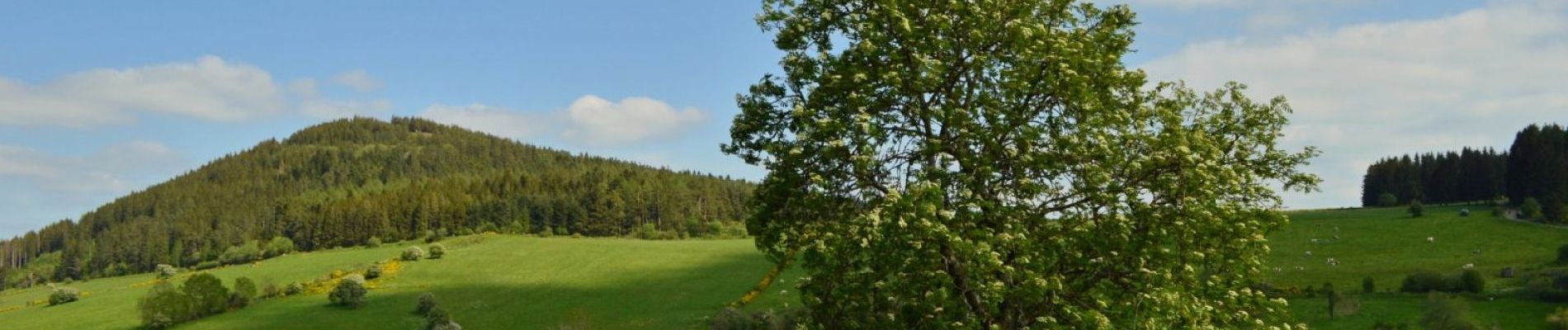
Au sud de la chaîne des Puys et aux confins du massif du Sancy, vous gravirez ce puy pour bénéficier de panoramas sur Saulzet-le-Froid, Pessade, le Sancy et la vallée de la Monne.
Photos

Positioning
Country:
France
Region :
Auvergne-Rhône-Alpes
Department/Province :
Puy-de-Dôme
Municipality :
Saulzet-le-Froid
Location:
Unknown
Start:(Dec)
Start:(UTM)
495279 ; 5054087 (31T) N.
Comments