


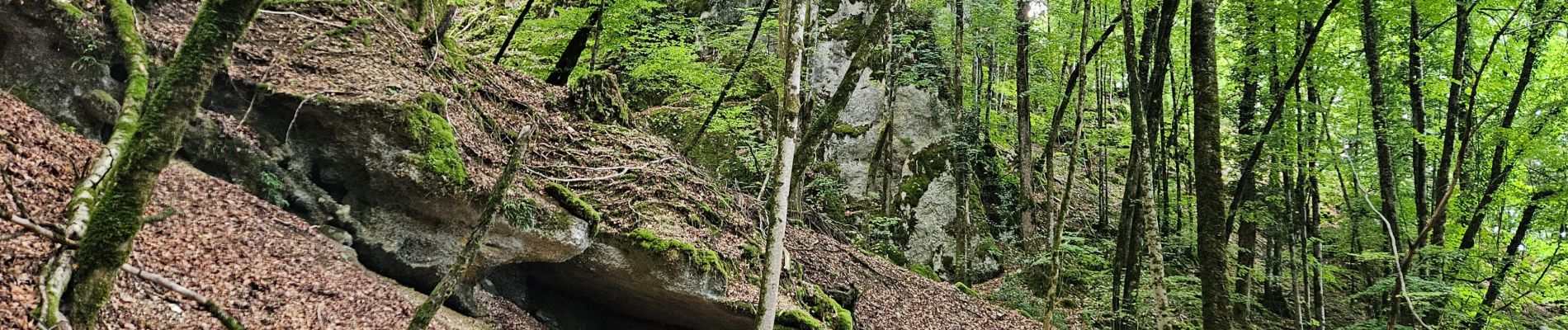
cascade des tufs reculées des planches les belvédère la conque

Maca8284
User

Length
11.7 km

Max alt
571 m

Uphill gradient
353 m
Km-Effort
16.6 km

Min alt
321 m

Downhill gradient
385 m
Boucle
No
Creation date :
2025-07-22 12:41:22.513
Updated on :
2025-07-22 16:05:13.517
2h55
Difficulty : Difficult

FREE GPS app for hiking
 SityTrail
IGN / Geographical institutes
SityTrail Plus
The world is yours!
About
Trail Walking of 11.7 km to be discovered at Bourgogne-Franche-Comté, Jura, Les Planches-près-Arbois. This trail is proposed by Maca8284.
Photos


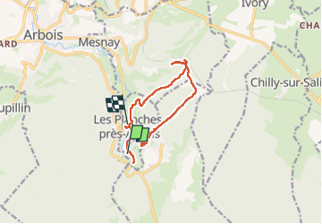
Positioning
Country:
France
Region :
Bourgogne-Franche-Comté
Department/Province :
Jura
Municipality :
Les Planches-près-Arbois
Location:
Unknown
Start:(Dec)
Start:(UTM)
713775 ; 5194757 (31T) N.
Comments