


boucle rochesson - cascade du battion - rocher de la vierge - saut du bouchot - rochesson

fbienmuller
User
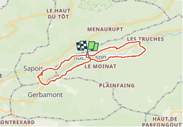

Length
14.8 km

Max alt
672 m

Uphill gradient
416 m
Km-Effort
20 km

Min alt
468 m

Downhill gradient
406 m
Boucle
Yes
Creation date :
2025-07-23 08:20:45.567
Updated on :
2025-07-23 12:48:56.192
4h03
Difficulty : Easy

FREE GPS app for hiking
 SityTrail
IGN / Geographical institutes
SityTrail Plus
The world is yours!
About
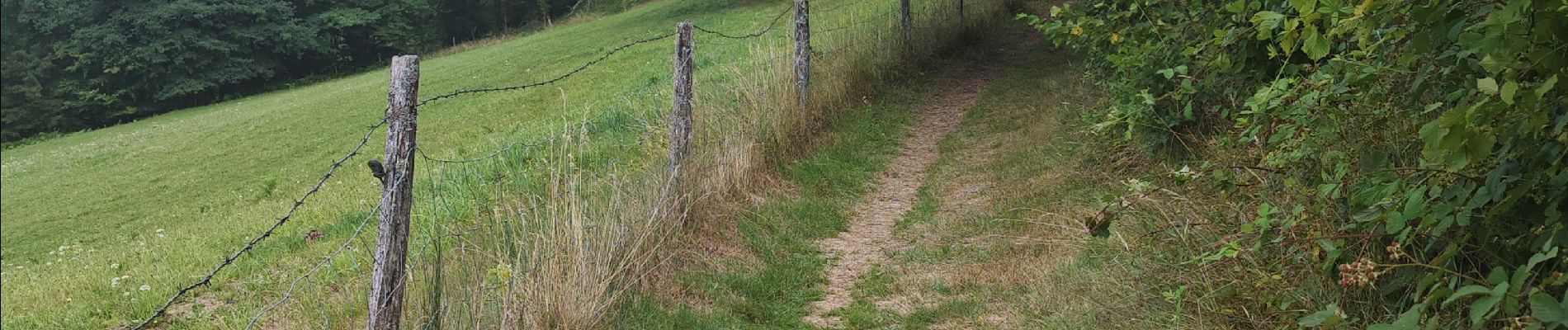
Trail Walking of 14.8 km to be discovered at Grand Est, Vosges, Rochesson. This trail is proposed by fbienmuller.
Photos


22 photos in total. Please click on a photo to see them all in the gallery.
Positioning
Country:
France
Region :
Grand Est
Department/Province :
Vosges
Municipality :
Rochesson
Location:
Unknown
Start:(Dec)
Start:(UTM)
334699 ; 5321171 (32U) N.
Comments