


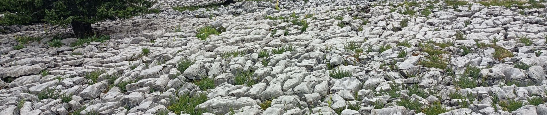
col de la Colombière, Samance table d'orientation

chuck
User
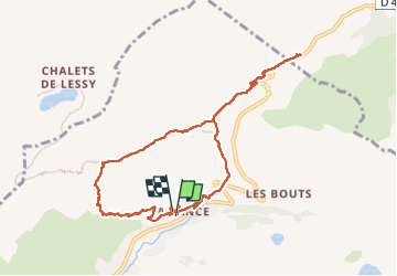

Length
9.7 km

Max alt
1615 m

Uphill gradient
473 m
Km-Effort
15.9 km

Min alt
1303 m

Downhill gradient
463 m
Boucle
Yes
Creation date :
2025-07-23 11:45:31.893
Updated on :
2025-07-23 15:53:50.64
3h48
Difficulty : Easy

FREE GPS app for hiking
 SityTrail
IGN / Geographical institutes
SityTrail Plus
The world is yours!
About
Trail Walking of 9.7 km to be discovered at Auvergne-Rhône-Alpes, Upper Savoy, Le Grand-Bornand. This trail is proposed by chuck.
Description
belle rando facile
Photos

Positioning
Country:
France
Region :
Auvergne-Rhône-Alpes
Department/Province :
Upper Savoy
Municipality :
Le Grand-Bornand
Location:
Unknown
Start:(Dec)
Start:(UTM)
302960 ; 5094411 (32T) N.
Comments