


Lac du Barbat

chasle
User
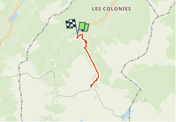

Length
9.4 km

Max alt
1989 m

Uphill gradient
784 m
Km-Effort
19.9 km

Min alt
1172 m

Downhill gradient
801 m
Boucle
Yes
Creation date :
2025-07-24 06:02:35.428
Updated on :
2025-07-24 16:01:33.384
4h31
Difficulty : Difficult

FREE GPS app for hiking
 SityTrail
IGN / Geographical institutes
SityTrail Plus
The world is yours!
About
Trail Walking of 9.4 km to be discovered at Occitania, Hautespyrenees, Estaing. This trail is proposed by chasle.
Positioning
Country:
France
Region :
Occitania
Department/Province :
Hautespyrenees
Municipality :
Estaing
Location:
Unknown
Start:(Dec)
Start:(UTM)
727655 ; 4753829 (30T) N.
Comments