


essai St cergues 22-07

micheljullien
User
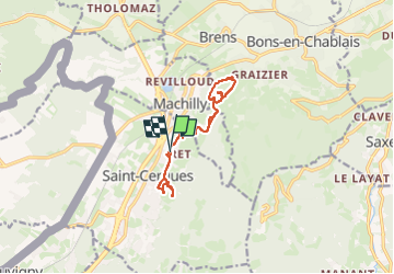

Length
10.5 km

Max alt
772 m

Uphill gradient
457 m
Km-Effort
16.6 km

Min alt
579 m

Downhill gradient
454 m
Boucle
Yes
Creation date :
2025-07-24 12:18:49.071
Updated on :
2025-07-24 13:24:26.598
1h04
Difficulty : Very difficult

FREE GPS app for hiking
 SityTrail
IGN / Geographical institutes
SityTrail Plus
The world is yours!
About
Trail Mountain bike of 10.5 km to be discovered at Auvergne-Rhône-Alpes, Upper Savoy, Saint-Cergues. This trail is proposed by micheljullien.
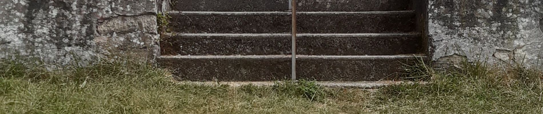
Photos


Positioning
Country:
France
Region :
Auvergne-Rhône-Alpes
Department/Province :
Upper Savoy
Municipality :
Saint-Cergues
Location:
Unknown
Start:(Dec)
Start:(UTM)
294055 ; 5124290 (32T) N.
Comments